
The route of the Southwest Trail (or Military Road) existed as part of a network of trails long before Missouri and Arkansas were opened as new territories of the United States. It was in 1831, under President Jackson, that a route was surveyed and improvements were made to the trail to accommodate thousands of wagons.
This new Military Road extended from the Mississippi River in Missouri (near Cape Girardeau) to the Red River (at Fulton). Most all immigrants into Arkansas and Texas travelled this road--as did many of the displaced eastern Indians who were forced to move to Oklahoma (not coincidentally also starting in 1831).
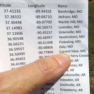
The route of the old road (and the changes over the years) is fairly well understood. I'll be doing my best to connect from town to town along the way.
It is worth noting the topographical map (above). To the east of the route are swamps where any water crossings would be difficult, and to the west of the route are the more rugged hills of the Ozark Mountains. Traveling through today's drained and leveled farmland, it might not make sense why the trail didn't run a straight line (as today's highway does), but a glance at the map shows the reason well enough.

Missouri
There were only three towns that already existed before the Military Road was surveyed: Jackson (Missouri), and Little Rock and Washington (in Arkansas). All the rest were founded at natural creek crossings or natural stopping points along the way, much the way new towns were created along the railroads.
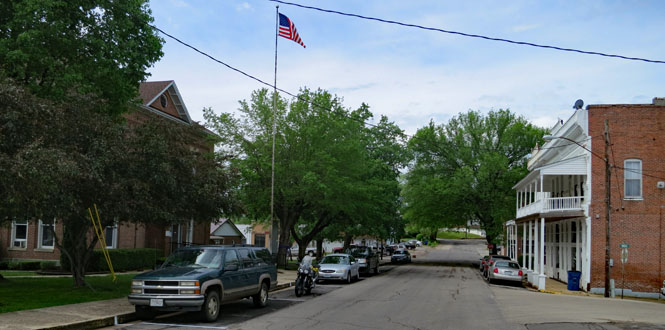
I was heading to Bainbridge, Missouri--one of the known ferry crossing points on the Mississippi River--but, I passed through Jackson (also on the route), so stopped. I'm glad I did.
Jackson, Missouri
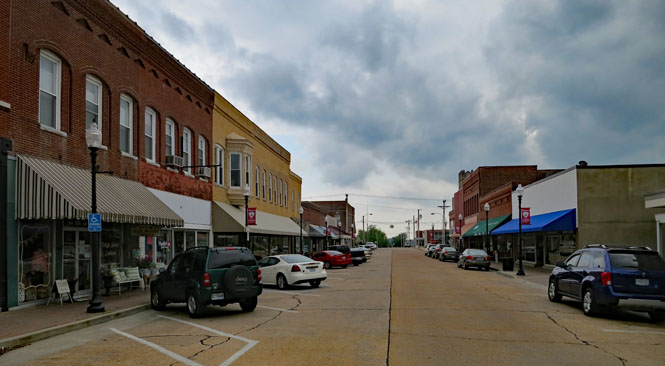
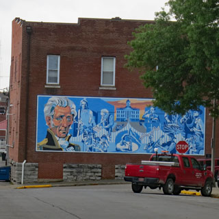
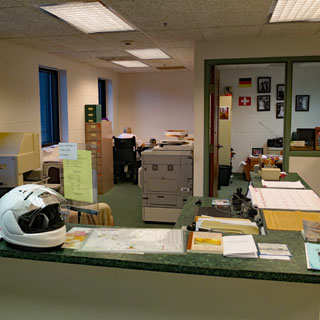
I noticed this History Center on Main Street, so stopped in to see if they might have any information on the trail. Barbara (below right) knew plenty about the town of Jackson (founded 1819 and named for the same man who would later champion the road that came through it), but not so much of the 1831 Military Road. She made a phone call and sent me around the courthouse to talk with Steve at the Archives.
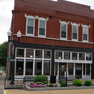

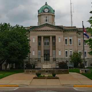
They were still open, and were especially helpful. I first mentioned “Southwest Trail” and didn't get any reaction, but when I said I was trying to follow the route of the “Military Road”, Steve knew exactly what I was after. It seems the description “Southwest Trail” is a term used in Arkansas to describe the road, but historically it was known as the “Military Road.” The distinction is probably important, today, as there are quite a few other “Military Roads” in Arkansas and Missouri.
“I have an original scroll of the trail; would you like to see it?”

Here's a 1:1 photocopy. These two large sheets contain the full scroll, which is about ten feet long.
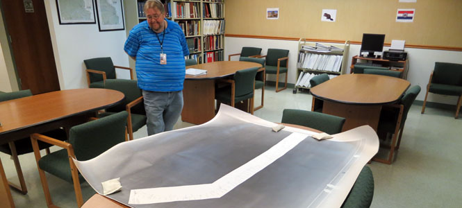
Mapping the Military Road from the Mississippi River to...

...the Current River in Arkansas.

What an amazing thing! Every mile is noted along with every settlement and building along the way and every creek and river that must be crossed. I would suppose that there would also be mile-markers along the route, so with this map it wouldn't be that hard to walk the full 110 miles. Is there a similar map for Arkansas? I can only assume so.
I never made it to Bainbridge. As Steve explained it, there were several ferries across the Mississippi River, but whichever was used, all the routes would then meet at Jackson before continuing to Greenville for the first significant water crossing.
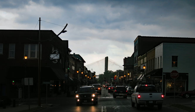
Cape Girardeau, Missouri. That cable-stay suspension bridge at the end of the street crosses over the Mississippi River.
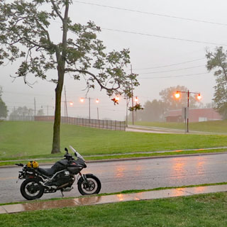
Overall, I was pretty lucky for the trip, but I did hit some severe thunderstorms on occasion. The rainfall was measured in feet, not inches. At some point (such as here), I parked the bike to get away from the large hail stones--and the road that was turning into a river. Flash flood watches and warnings were a continuous thing for the entire trip.
The purple dot (below) is me.

Marble Hill, Missouri. It's worth recounting that all the next towns (with the exception of Little Rock and Washington) were founded after the trail was already in regular use. If the railroad that came later (Cairo and Fulton Railroad) happened to bypass the new town, then it's mostly certain that the future highway would also bypass the town. Consequently, sometimes there is hardly enough town left to take a photograph.
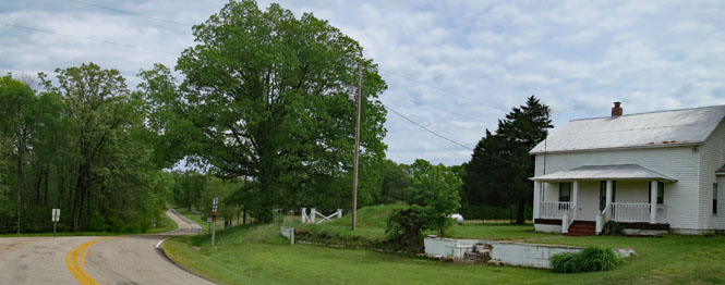
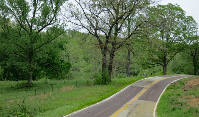
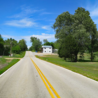
Beautiful swooping curving roads. They might not be as spectacular as the Ozark roads just a few miles to the west, but they're awfully nice to ride and are almost all empty.
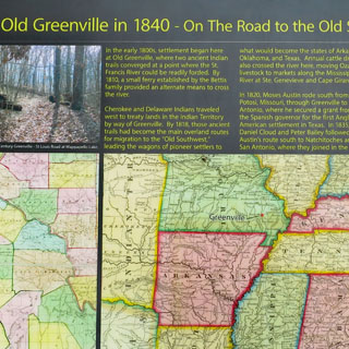
The site of Greenville, Missouri. This was a good place for a ford and then a ferry, but a really poor choice for a town. After multiple floods, they moved Greenville several miles away from the river.
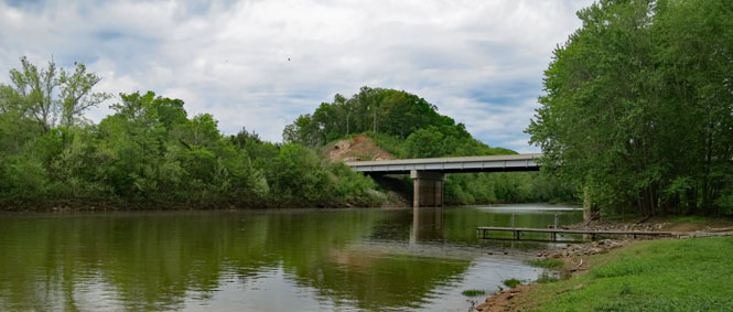
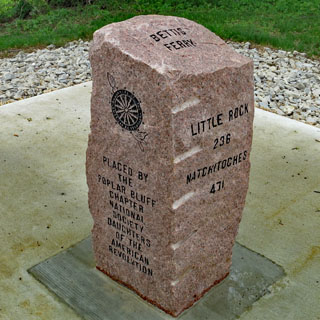
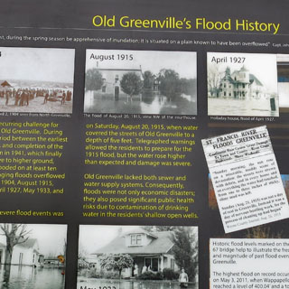
There's a lot of connected history along this road.
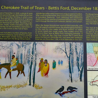
On one hand, you have thousands of immigrants settling Arkansas and Texas and building a new country. But, on the other hand, you have thousands of Cherokee, Muscogee, Seminole, Chickasaw and Choctaw who were forced by the Army to abandon their homes in the east and move to land that was considered so poor that nobody else (at the time) wanted. This was just one of several routes to Oklahoma now known as the Trail of Tears.
Before the ferry, this crossing was dangerous and many died making the attempt.
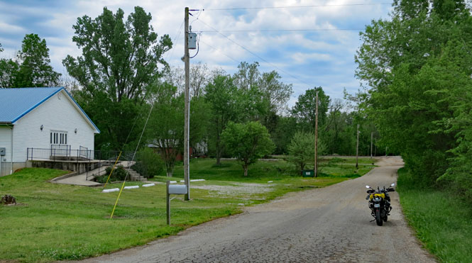
Hendrickson, Missouri.
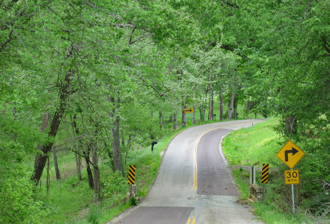
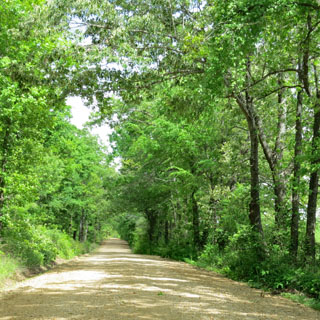
Tunnels of fresh springtime leaves. Everywhere is green.
Fairdealing, Missouri. It's not much of a town, but they have a good name.

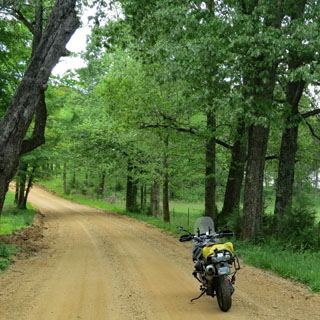
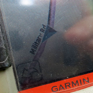
It's always nice to find a bit of road that you know with some certainty is the original route. The signs only gave a county number, but Garmin correctly called it “Military Road.”
Oxly, Missouri. This small town was founded in 1885, so while it is on the route, it wasn't a part of the trail when it was actively in use.
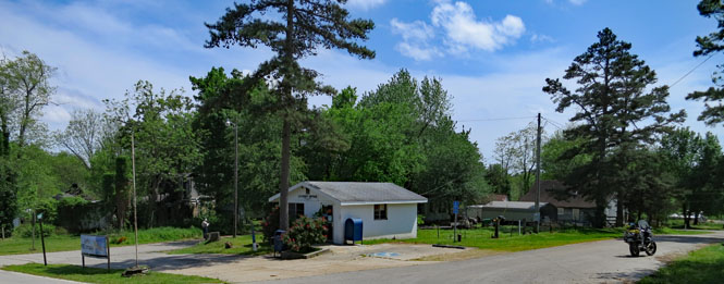
Still riding the Military Road. I guess bridges don't need rails.
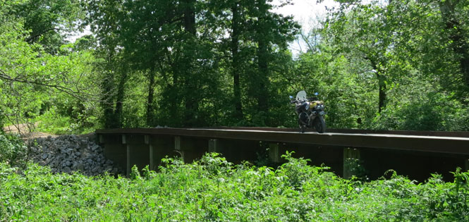
Looking downstream, it's easy to imagine that this would be a good place to ford wagons across the creek.
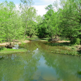
Current View, Missouri. There ought to be a view of the Current River from here; but, there isn't. I suppose rivers move and trees grow. Anyway, it isn't too far.

Arkansas
The Current River. This marks the end of the road that was mapped out in the scroll I saw in Jackson. When the road was active, the Pitman ferry would have been here. For whatever good reason, the highway bridge that I needed is actually several miles downriver.
The best place for a ford is not always the best place for a ferry is not always the best place for a bridge.
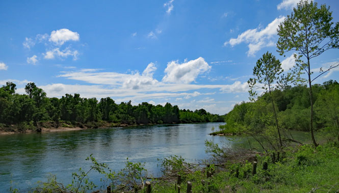
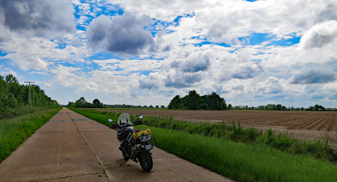
It's flat and dry today, but two hundred years ago, you might not want to go too far east.
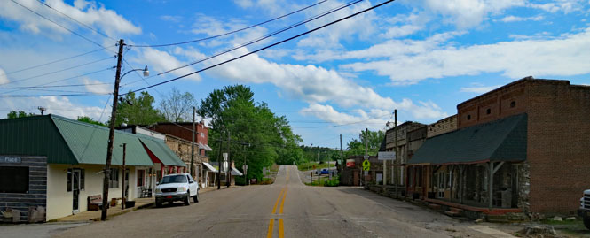
Maynard, Arkansas
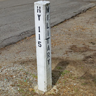
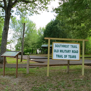
All along the way I'd be on the lookout for signs for the old road. Here's the intersection of Highway 115 and Military Road. The local city park had a bit of information on the two trails.
Attica, Arkansas. If the first building of a new town is a tavern, I guess it stands to reason that the last building will also be a tavern.
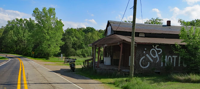
Pocahontas, Arkansas.
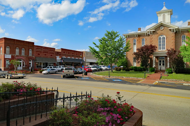
The Spring River. You could only hope that there'd be a bridge (or at least an operating ferry) when you reached a river this size.
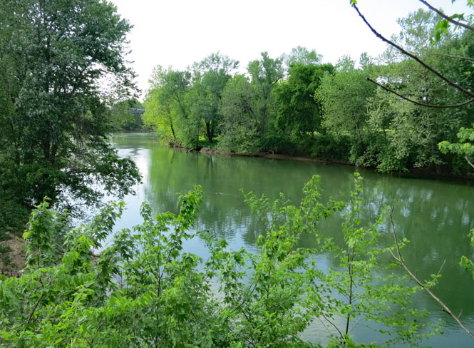
Imboden, Arkansas. Main Street drops down to the Spring River.

More green tunnels to ride through.
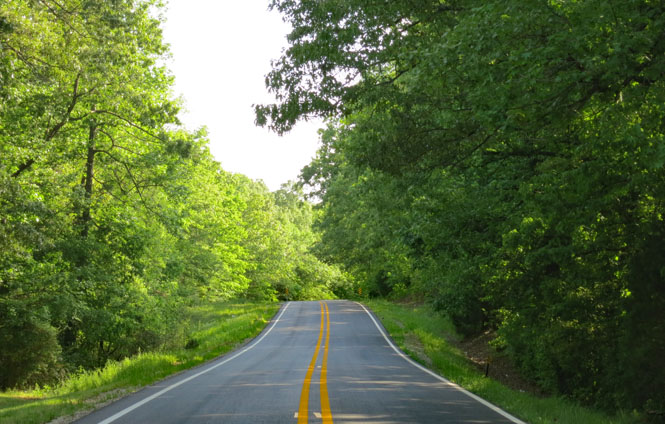
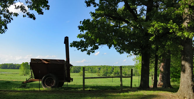
Strawberry, Arkansas.
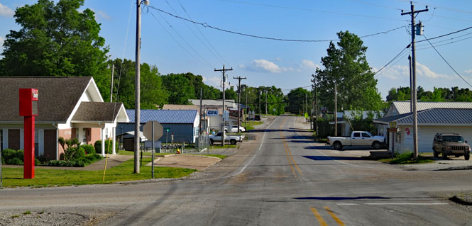
Sulphur Rock, Arkansas. Through this region, the old road is zigging and zagging all over the place. It only makes sense in relation to the rivers that must be crossed.
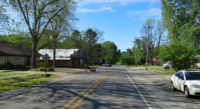
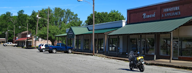
Newark, Arkansas.
Often one of these Arkansas historic markers would be on the road I'm riding, but you cannot travel the length of the Military Road (or Southwest Trail) simply by following these signs. There aren't enough of them, and they tended to stay on today's principal roads and didn't mark the actual historic route.

White River.
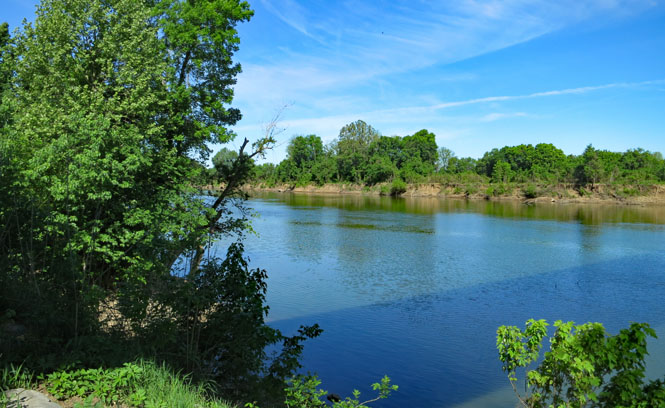
Oil Trough, Arkansas. The oil that was in the trough from which the town got its name was rendered bear fat.

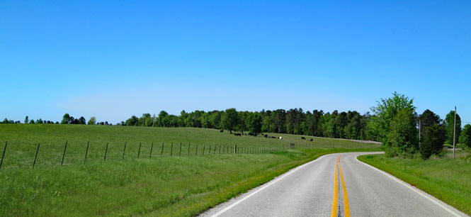
Pleasant Plains, Arkansas.
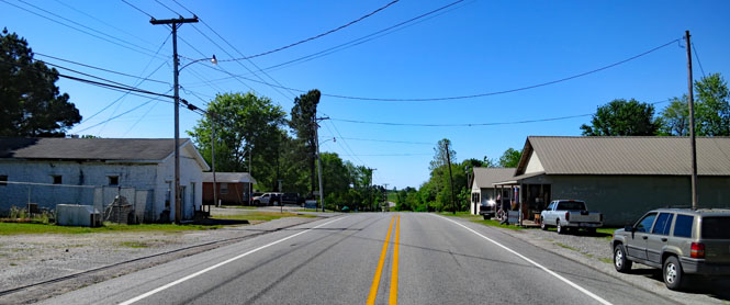
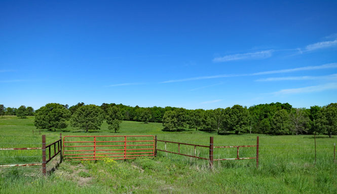
Letona, Arkansas.
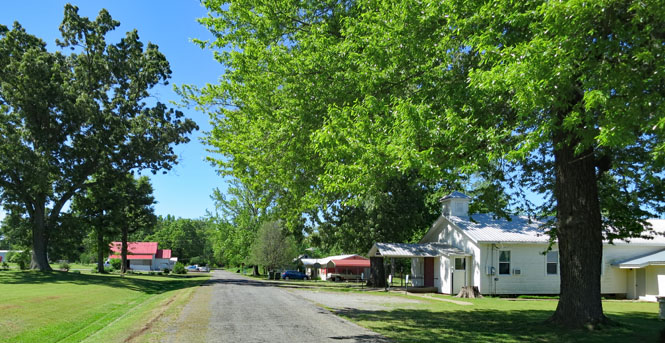
Center Hill, Arkansas.

Floyd, Arkansas.
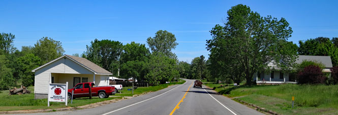
This road, too, was named “Military Road.” It was always nice to see those signs to have some confirmation that I was on the right track.
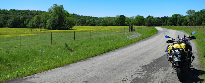
El Paso, Arkansas. Talking to the owner of the beauty shop (on the corner) I learned that this was once a prosperous town until a tornado destroyed it a hundred years ago (one of the local businesses sells tornado shelters).

North Little Rock, Arkansas. This is a pleasant town on the north side of the Arkansas River (which this road will soon be spanning)
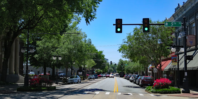
Little Rock Arkansas. I'm standing on Main Street looking north towards the river. This town existed when the Military Road came through, and likely it came through right here.
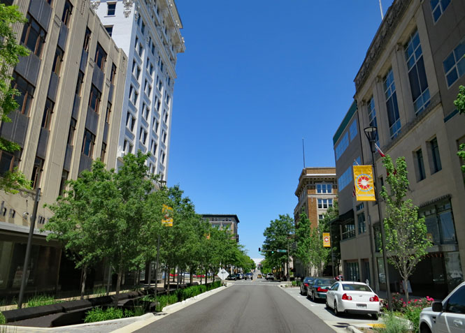
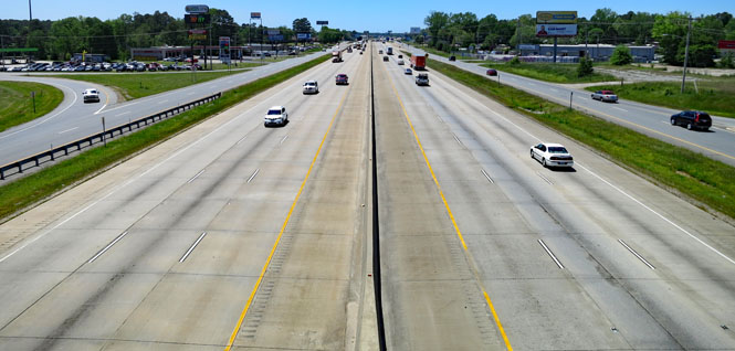
Gads. Sometimes you can't help but take today's highway, which has obliterated the old route. I did as little of this as possible.
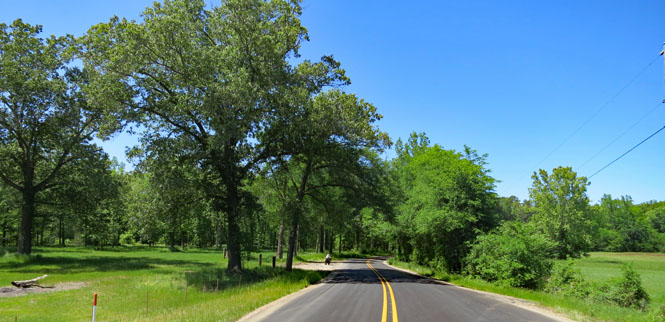
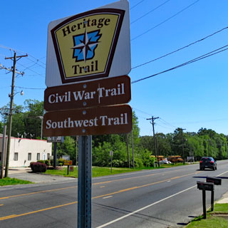
I see a sign for “Military Road” and I'm on it.
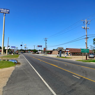
What's the point of a stop-sign in Arkansas if you can't blast it with a shotgun?
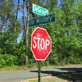
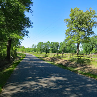
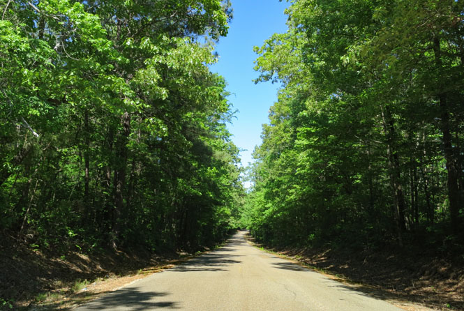
Hollywood, Arkansas.
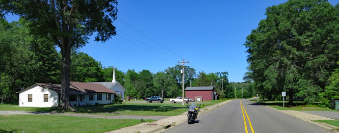
Okolona, Arkansas.

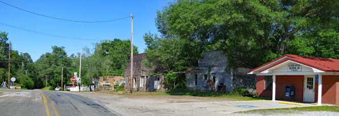
Antoine, Arkansas.
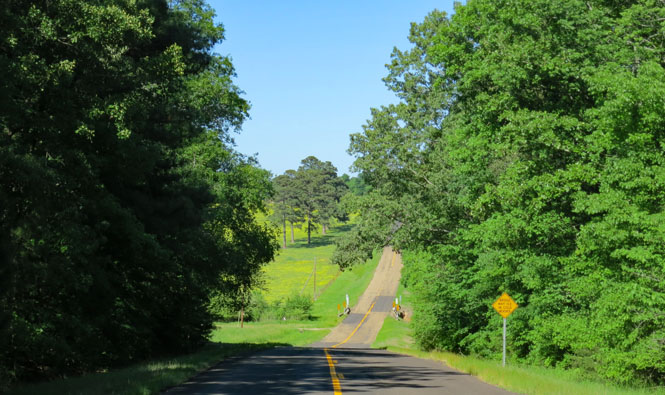
Beautiful roads to ride in the spring.
Blevins, Arkansas.
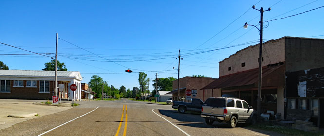
I'm back on a named “Military Road.” This is the original route to Washington.
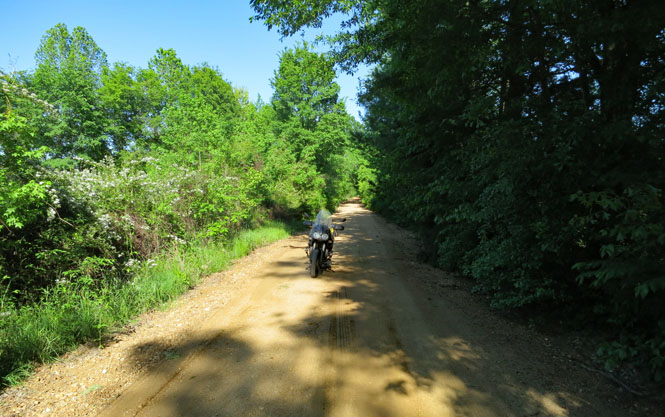
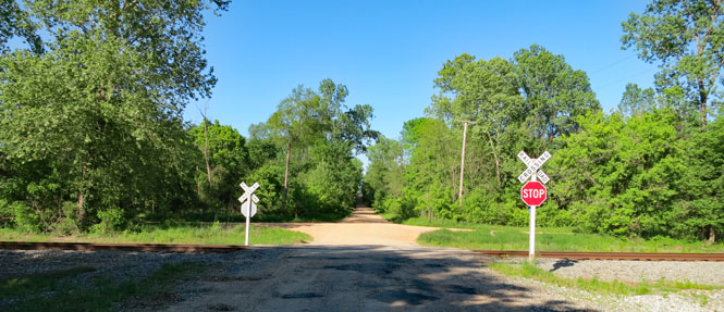
Washington, Arkansas. This is now a state park, although some people do still live in this old town.
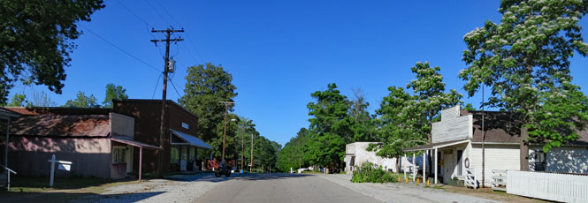
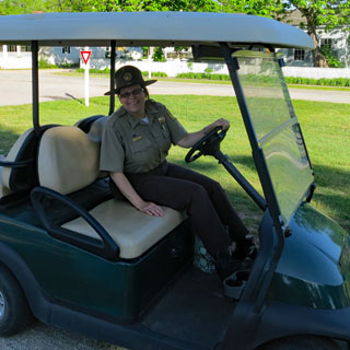
The old courthouse and a helpful ranger (now answering my questions after closing time). I'll come back tomorrow.
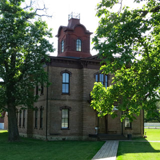
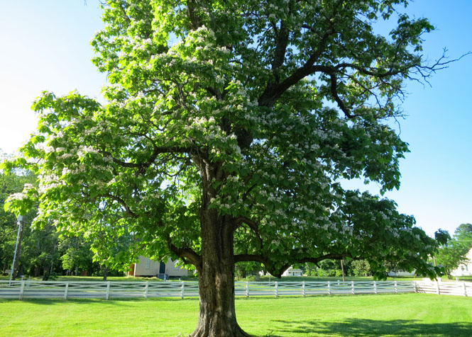
Big flowering trees are everywhere.
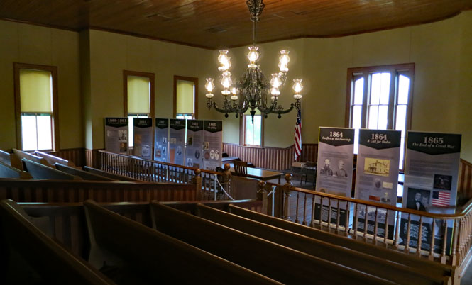
Inside the old courthouse.
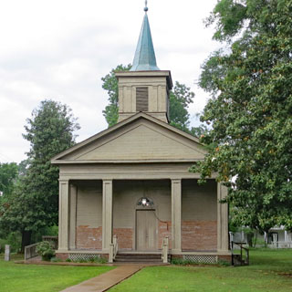
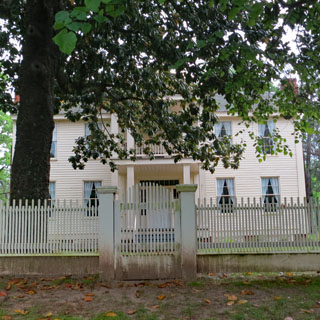
During the last months of the confederacy (when Little Rock was occupied by the Union), Washington was the state capital of Arkansas. This is the capitol building. Today, it's not even the county seat (that would be in Hope).
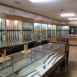
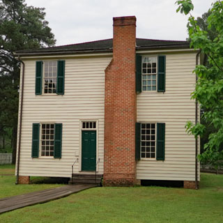
Quite an interesting print museum. Any Linotype machine is worth looking at.
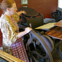


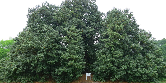
That's one very large magnolia tree; it was planted in 1839. Pity it isn't in bloom.
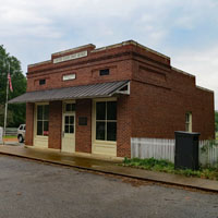
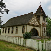
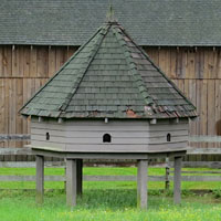
There's a nice restaurant in town. I had the Reuben sandwich, coleslaw and sweet iced-tea.

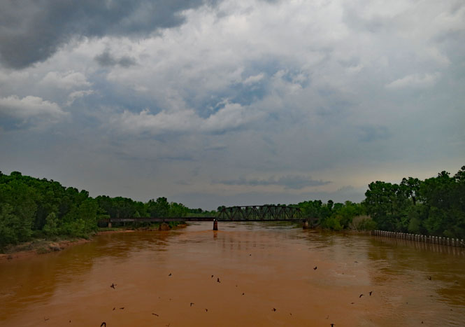
Fulton, Arkansas and the Red River.

Estados Unidos Mexicanos
Any traveller of the Military Road crossing that river would need to be carrying a passport. Those first settlers of Texas had permission. Afterwards? Likely not...
The best way to understand an old trail is to travel it. This wasn't any sort of exact mile-by-mile scholarly trip, and I blurred over the various route changes that happened over the years. But it's enough to see why the trail followed the course it did, and perhaps to give some idea of what the land might have been like.